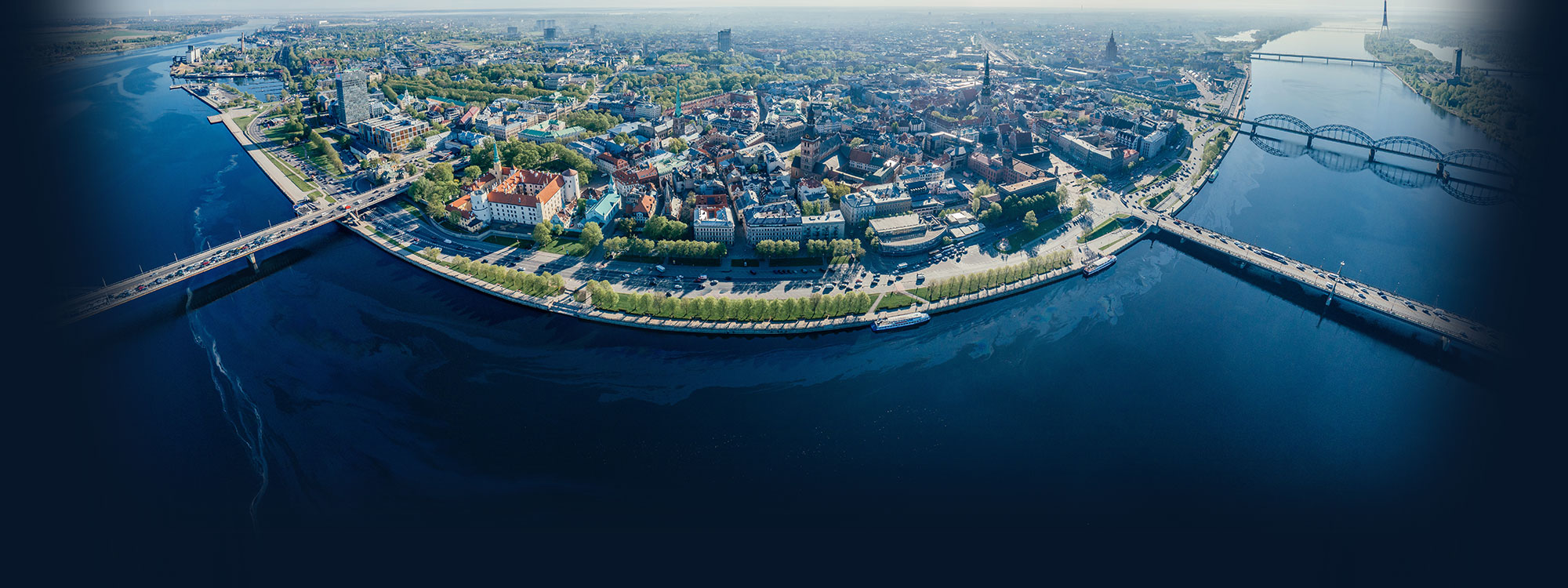
Baltic Sea Use Cases
In the Baltic Sea region, use cases aim to demonstrate the use of the AquaINFRA Interaction Platform (AIP) and Virtual Research Environment (VRE) to assess the state of eutrophication in the Baltic marine environment, the level of land-based nutrient load and its environmental effects and costs of measures to reduce the load and mitigate eutrophication.
Datasets will include data obtained through monitoring the marine environment and rivers, satellite observations, modelling and observation of effects of undertaken environmental measures, their social and economic effects and many others.
In total, three use cases are being implemented in the Baltic Sea region. These use cases include the Daugava River catchment and the Gulf of Riga, the Vantaanjoki River basin and the Gulf of Finland and environmental management data in Finland and Latvia.
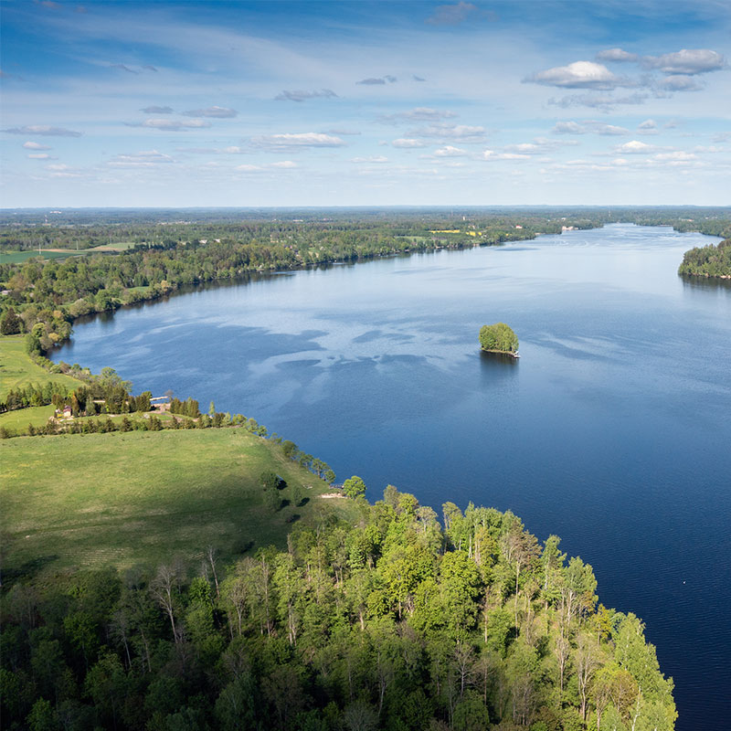
Daugava River catchment and the Gulf of Riga
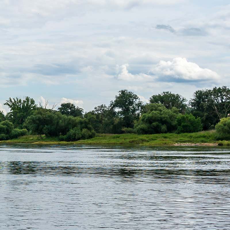
The first use case addresses the issue of water darkening in the Gulf of Riga and explores linkages to the Daugava River catchment area. This study focuses on understanding the changes in water optical properties in the Gulf and the Daugava River, and the land-based processes that may be causing these changes. The Daugava River, with its catchment area located in five countries, is the main contributor to the nutrient input to the Gulf of Riga. Its water quality largely controls water quality in the Gulf.
The following sequential research questions are being tackled in this study:
Do the optical properties in the Gulf of Riga change in the long term?
What explanatory components contribute to the change of water optical properties?
Are there any indications of change in the riverine loads and/or concentrations of these components in rivers discharging to the Gulf of Riga?
Which activities and pressures (e.g. land use, climate) most probably affect the changes in the water’s optical properties?
Which social-economic drivers modify these activities?
The initial phase of the data analysis workflow has been completed on the Galaxy platform. Eight tools and one workflow were created in total. The tools and the workflow allow grouping in situ data points to spatial polygons, creating time series data, and detecting significant trends in parameters of interest. The analysis identified the eastern coastal region of the Gulf of Riga as an area where Secchi depth has significantly declined over the past 30 years.
The next phase will focus on determining the water optical properties driving this change and investigating their connections to processes within the catchment area. This will involve integrating satellite imagery and land-use data into the analysis. Additionally, the workflow will be tested with data from other regions to demonstrate its applicability and assess its scalability.
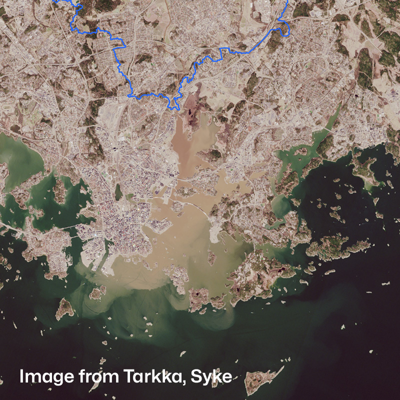
Contains modified Copernicus Sentinel-2 data, Syke. https://tarkka.syke.fi
The Vantaanjoki River Basin and the Gulf of Finland
The second use case focuses on the Vantaanjoki River basin and the Gulf of Finland, and the challenges that remain in accessing high-frequency monitoring data and integrating them with remote sensing data. Vantaanjoki is one of the rivers contributing to the nutrient load on the Gulf of Finland, which, according to the latest HELCOM assessment, has not yet achieved good environmental status regarding the input of nutrients. This use case aims to increase access to high-frequency monitoring data, integrating them with remote sensing data to demonstrate the possibility of seamless water quality data from land to sea. The use case combines high-frequency water quality monitoring with FerryBox observations and sensor data with satellite observations.
The research questions underpinning this use case are:
What are nutrient, suspended solids, and carbon loads from the river to the coastal area? How do these loads fluctuate in different seasons and under different hydrological conditions?
Is the observed variation in river water colour and turbidity linked to changes in coastal and offshore water quality?
How do factors, such as land use, and climate impact the water quality dynamics in coastal rivers in South Finland and how does this reflect in the outer pelagic system?
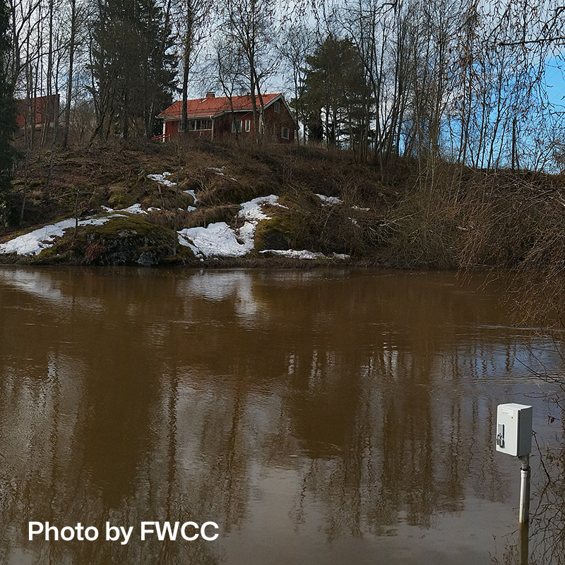
The data flow for SYKE’s discharge observations is completed—the metadata has been published, and API access has been made available. The discharge data have been made visible in the AquaINFRA Virtual Research Environment. Next, additional datasets will be made available in the Data Discovery and Access Service (DDAS), the scripts for running analysis to answer research questions 1-3 will be shared with WP4 and the workflows will be collaboratively developed.
Despite efforts, the level of nutrient load on the Baltic Sea, primarily originating from land, still exceeds the scientifically justified threshold. Since land-based sources of nutrients are dominating, measures to reduce nutrient inputs to the Baltic Sea are to be implemented on land, and, thus, they are regulated by other than marine policies. It creates a major knowledge gap, as the effects of these measures on the marine environment remain largely unknown.
Environmental management data in Finland and Latvia
In the third Baltic Sea use case, environmental management data from the Daugava River (Latvia) and Vantaanjoki River (Finland) catchment areas will be sought to shed light on the costs and effects of environmental measures. Environmental management data includes parameters like cost, location, and quantity of implemented measures, as well as projected and observed effectiveness. National handling of such data varies significantly and the intention is to develop an institutional data flow model for these specific kinds of data and propose methods for their combined analysis with natural observations.
This use case aims to answer the following research questions:
What is the environmental effect of measures anticipated under Water Framework Directive (WFD), Marine Strategy Framework Directive (MSFD), and HELCOM’s Baltic Sea Action Plan (BSAP)?
What are the estimated costs of foreseen environmental measures?
How accurate were the planning projections in terms of cost and environmental effectiveness?
Other Regions
Click on a region to learn more about the use cases:
Baltic Sea
In the Baltic Sea region, the use cases aim to demonstrate the use of the Architecture Implementation Plan and Virtual Research Environment to assess the state of eutrophication in the Baltic marine environment, the level of land-based nutrient load and its environmental effects and costs of measures to reduce the load and mitigate eutrophication. Datasets will include data obtained through monitoring marine environment and rivers, satellite observations, modelling and observation of effects of undertaken environmental measures, their social and economic effects and many others. In total, three use cases are being implemented in the Baltic Sea region. These use cases include the Daugava River catchment and the Gulf of Riga, the Vantaanjoki River basin and the Gulf of Finland and environmental management data in Finland and Latvia.