


AquaINFRA News
The fresh water floating on the sea
November 18th, 2026
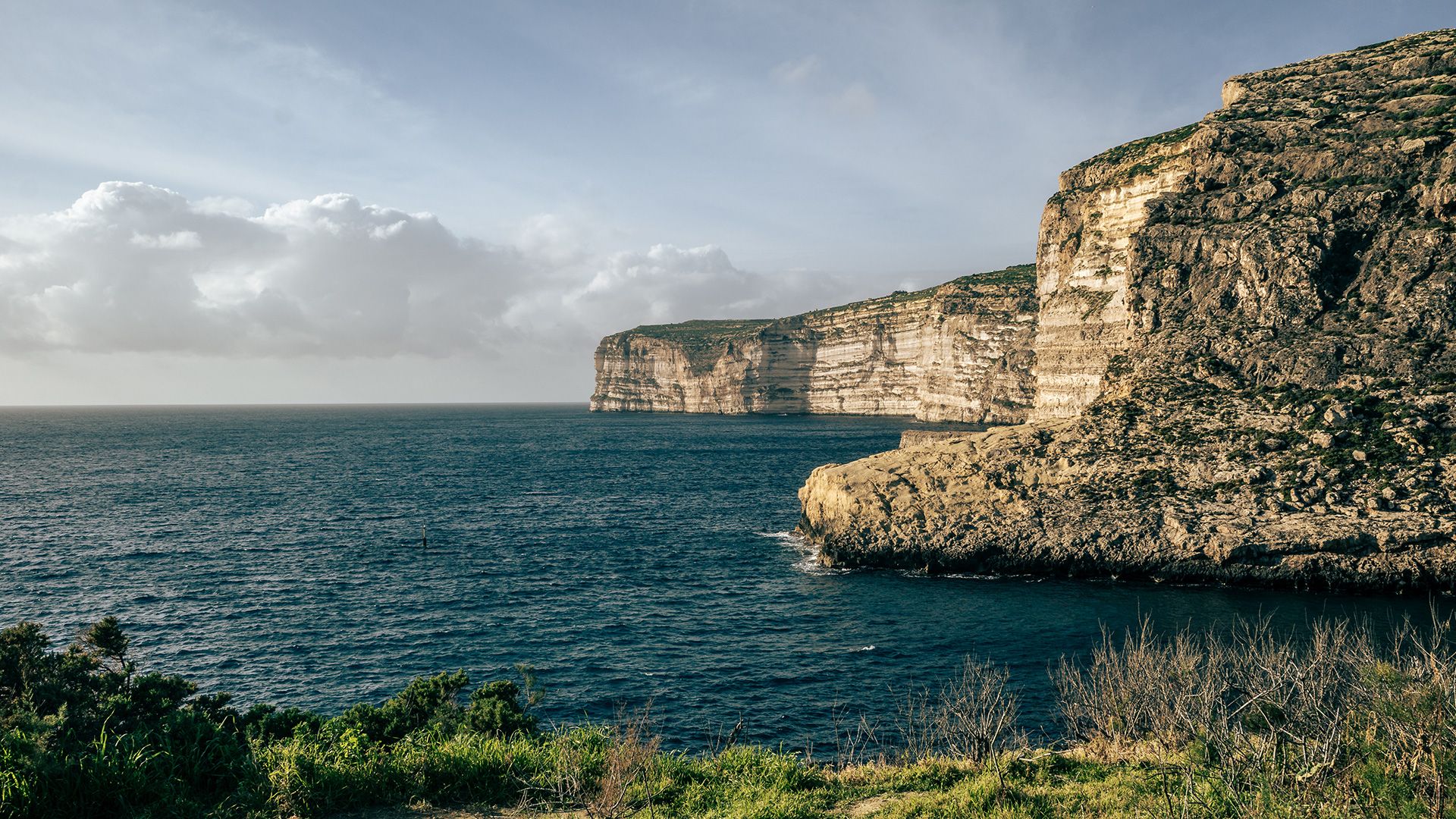
Fresh water on top of the sea
Much of Malta's fresh groundwater sits on top of seawater. Rain soaks into the rock and collects as a body of fresh water resting on the denser salt water underneath.
Ask Sarah Fiala, who built the groundwater model for AquaINFRA's Malta use case at the University of Malta, how she would explain that to a Maltese family, and she doesn't reach for an analogy. "I would actually explain it almost exactly like that," she says. "Fresh water is less dense than salt water, so freshwater derived primarily from rainfall and recharge can form a body of relatively fresh groundwater above denser saline groundwater."
She adds one correction to the picture. "It is not a perfectly separated underground lake. Instead, there is a transition zone where freshwater and saline groundwater mix." Still, the image of fresh water "floating" above the salt is a useful way to see the system, she says, and on a small island surrounded by sea, the groundwater and the coast are physically connected.
Turning the dials before it happens
Sarah's model is a three-dimensional, variable-density groundwater model of the Maltese Islands, built with SEAWAT and FloPy. It simulates how groundwater flows and where it is fresh or saline. "At its simplest, the model asks: what happens to Malta's groundwater system when the conditions controlling it change?"
Those conditions are recharge from rainfall, sea level and abstraction (the water pumped out for use). Change them in the model and you can watch how groundwater levels, flow and the balance of fresh and salt water respond over time. For the people responsible for Malta's water, she says, the value is "the ability to investigate different scenarios before they occur."
The scenarios that concern her most are the ones where pressures stack up. "Reduced groundwater recharge combined with continued abstraction and rising sea level could place increasing pressure on the freshwater resource." She won't put a date on when that starts to hit home. "I would be cautious about attaching a specific date to when those effects become significant because that depends on the combination and magnitude of the scenarios being tested. One of the main purposes of the model is precisely to investigate those responses."
Living on an island makes the stakes plain. "Malta cannot simply expand its natural freshwater catchment when demand increases," she says. "Groundwater is largely invisible, so it can be easy to imagine it as a large reservoir somewhere beneath our feet. Once you visualise the distribution of freshwater and saline groundwater through the subsurface, the resource becomes much more tangible."
That shift happened for her too, the first time she saw the salinity distribution through the model domain. "You suddenly stop thinking only in terms of model cells, hydraulic heads and concentrations and start seeing the groundwater system that those values represent."
The small details that took the time
A model that runs on its developer's computer is one thing. A model anyone can run is another, and the gap between them surprised her. "One of the most surprising things was how much work exists between having a scientific model that runs successfully in your own computational environment and having a workflow that somebody else can reliably reproduce."
The workflow has several linked steps: preparing the geological inputs, building the SEAWAT model, running the simulations and processing the outputs for analysis. Containerising it for the European Galaxy server meant packing the model and its dependencies into one reproducible environment. File paths, inputs and outputs then all had to behave the same way inside Galaxy as they did on her machine.
"It was sometimes the seemingly small technical details surrounding the model, rather than the groundwater-flow and solute-transport calculations themselves, that took the most time," she says. "However, solving those issues is ultimately what makes the workflow portable and reusable."
Where the groundwater meets the coast
The model also treats the coastline differently. "Instead of thinking of the coastline as a hard boundary where groundwater simply stops, we can represent the physical connection between the aquifer and the marine environment," Sarah says. It characterises the groundwater leaving the aquifer along the coast, known as submarine groundwater discharge, which is mostly hidden from view. That matters, she explains, because this discharge "can transport not only freshwater but also dissolved salts, nutrients and other constituents from terrestrial aquifers into coastal waters."
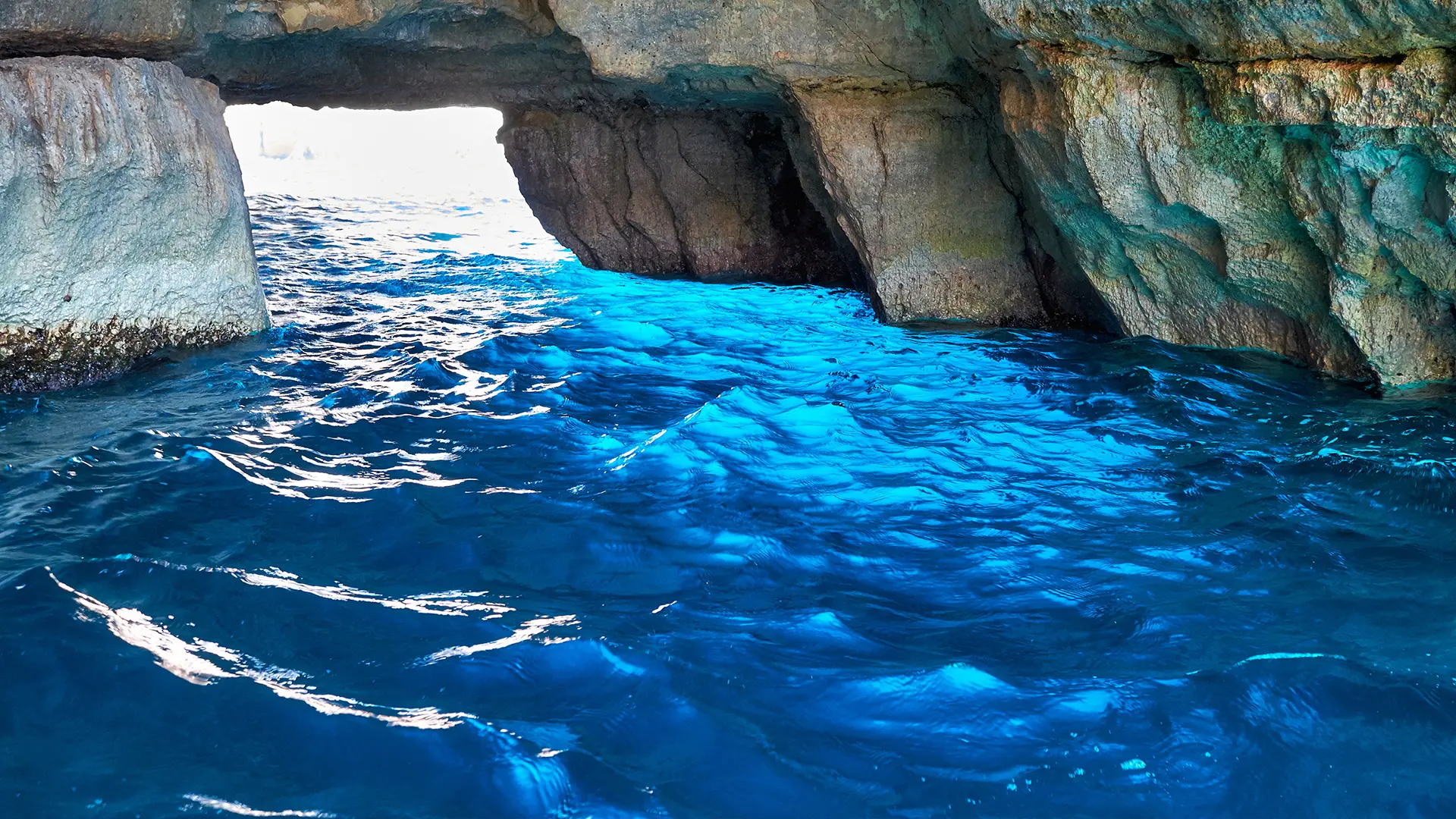
A sea cave on the Maltese coast. Where groundwater leaves the aquifer along the shore, most of it does so out of sight.
If Malta's water managers were using the tool in five years, the decision she would most want it to inform is a practical one: "how can Malta manage groundwater abstraction while protecting the freshwater resource from long-term deterioration and increasing salinity?" Comparing abstraction scenarios alongside changes in recharge and sea level could show which parts of the aquifer are most sensitive to change. She describes this as a future step, "moving from a research tool for understanding the groundwater system towards a tool that can also support scenario-based water-resource management."
In a separate strand of the same use case, ICM-CSIC set up its regional coastal model (MITgcm) for the waters around Malta. This shows that the marine modelling system first built for the Catalan Sea can be applied to a different coast.
A test of success
The approach is not tied to Malta. "The governing principles of groundwater flow, density-dependent flow and solute transport are relevant to coastal aquifers and small islands well beyond Malta," Sarah says. Another site would need its own geology, recharge, coastal boundaries and abstraction data, but the reproducible workflow gives it a starting point.
She hopes groundwater researchers, students, environmental agencies and teams working on other islands will pick it up. "If somebody can take what we developed for Malta and use it as a starting point for another environmental or hydrogeological question, that would be a very meaningful outcome of the project."
AquaINFRA ends in December 2026. Her measure of success a year later is simple. "I would like somebody other than the original developer to be able to find the workflow, understand what it does and successfully run it."
And the next time someone says "there is enough water", she would like them to know what sits behind the sentence: where the water is stored, how it is replenished, how it moves, how salty it is and how much is taken out. "Every apparently simple model output has a considerable amount of science and computation behind it."