
AquaINFRA News
Linking Land and Sea: The Mediterranean Water Cycle Use Case
February 12th, 2026
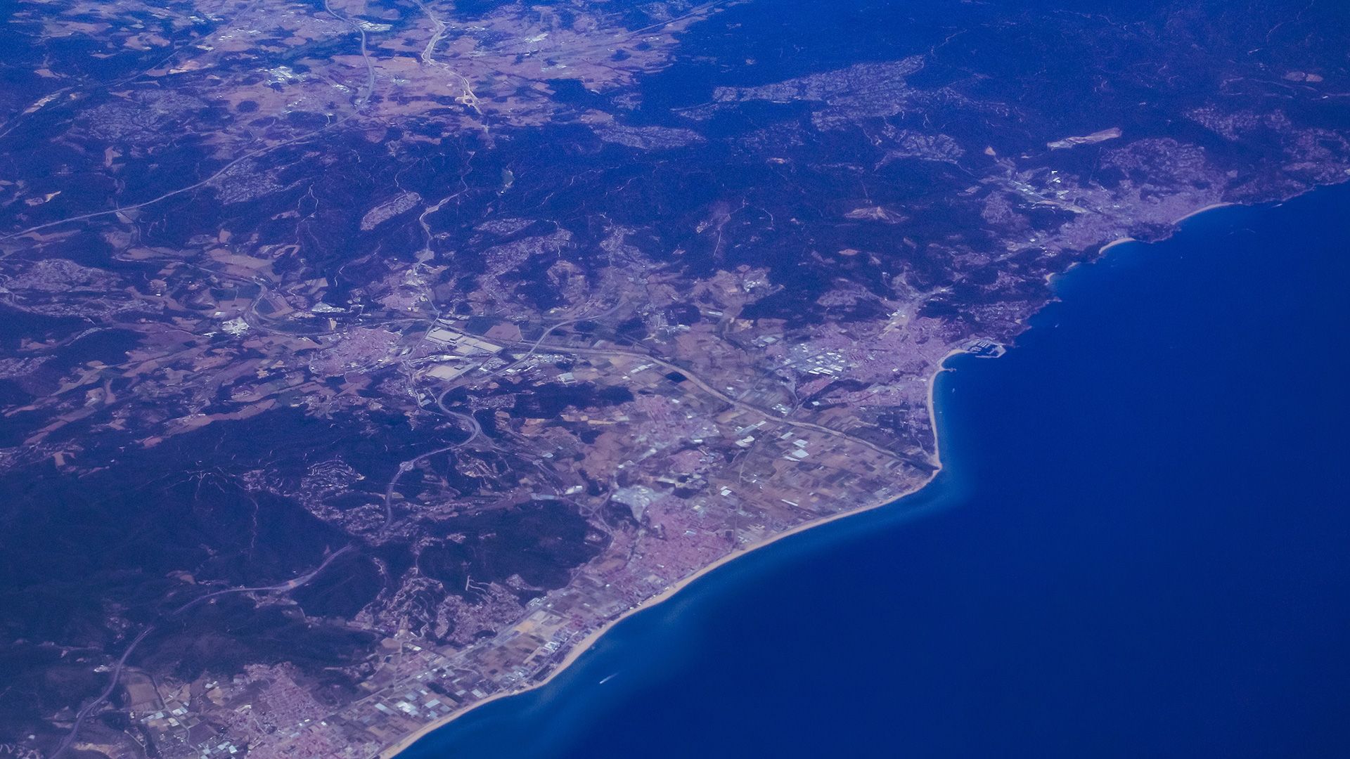
How can we predict coastal ocean conditions by understanding the land and rivers that feed into them? The Mediterranean Use Case presented at AquaINFRA’s Oslo conference illustrates an ambitious “source-to-sea” modeling approach. This case study focuses on the Mediterranean region and links together models of terrestrial watersheds, groundwater, and the coastal ocean into a single workflow. The core idea is to capture the entire water cycle: from rainfall and river flow on land, through aquifers underground, all the way to ocean currents and quality in the sea.
By integrating these traditionally separate domains, researchers can better simulate how changes in a river basin (like extreme rainfall or pollution) will impact the Mediterranean coastal waters.
In practice, the team has connected an inland hydrological model with a marine circulation model. They use SWAT+, a state-of-the-art watershed model that calculates how rain and snowmelt turn into river discharge, accounting for soil, land use, and water management. Its outputs (essentially the freshwater flow and nutrients leaving the land) are then converted to feed into MITgcm, an ocean model that simulates currents, temperature, salinity, and other marine conditions. This coupling is done via an automated workflow they developed (the “Tordera inland-to-marine workflow”) on the Galaxy platform.

Galaxy is a web-based scientific workflow system, which in this context allows the complex sequence of model runs and data transfers to be executed and repeated easily. The workflow takes a SWAT+ watershed project (for example, the Tordera catchment in northeastern Spain) and, after the hydrology is simulated, it transforms that output so that the ocean model MITgcm can ingest it. In simpler terms, it’s as if the river model hands off a baton of water flow data to the ocean model, ensuring consistency in space and time at the river’s mouth.
One challenge in such integration is ensuring the models align; for instance, the timing and scaling of river discharges must match what the ocean model expects. The team highlighted work on calibration in the lower basin of the river to improve this connection, refining the daily modeling so that the river’s effect on the sea is accurately captured.
A notable expansion of the Mediterranean use case is the incorporation of groundwater modeling. The presenters discussed the use of the SEAWAT model, which simulates groundwater flow and the mixing of freshwater and seawater underground . This is crucial for coastal aquifers where saltwater intrusion can occur. In the AquaINFRA workflow, SEAWAT is being implemented as an additional tool: it takes user inputs like sea level and recharge rates, runs a 3D groundwater simulation, and then post-processes the results into a format that the ocean model can use.
The team has already demonstrated this integrated modeling in the Catalan Sea region. They reported a fully operational Galaxy workflow for that region, complete with tools that automatically fetch necessary input data from European services like Copernicus (for meteorological forcing and marine boundary conditions). For example, they developed Galaxy tools to download weather data and marine data, so that the models always run with the latest or required input. With the Catalan Sea workflow validated, the next step is scaling up to new areas. The immediate goal is to apply it to the Malta region in the central Mediterranean. This means adapting the model configuration to a different catchment and coastal setting, but thanks to the modular design, much of the system can be reused. They anticipate simply plugging in Malta-specific files (like a new ocean grid and bathymetry, and river parameters) to run the same workflow for Maltese waters.
Finally, because AquaINFRA is aligned with the European Open Science ethos, the Mediterranean use case is building bridges to wider communities. The tools and workflows are being made available through the EOSC (European Open Science Cloud) ecosystem. That includes publishing workflows and results on platforms like Zenodo for open access, and connecting with other environmental research infrastructures (such as LifeWatch or the Digital Twin Ocean) via the Galaxy instance. In summary, the Mediterranean case study demonstrated at the conference is a powerful example of integrating models across disciplines. It shows how AquaINFRA enables coupling land, sea, and subsurface processes, providing researchers and water managers a more complete picture of the Mediterranean water system all delivered in a reproducible, shareable way through an open science platform.