
AquaINFRA News
From data to impact: AquaINFRA use cases and training demonstrate the value of FAIR data sharing
June 10th, 2025
Open and FAIR (Findable, Accessible, Interoperable, Reusable) data are increasingly recognised as cornerstones of modern aquatic research and water management. By making datasets widely available and interoperable, researchers can generate insights more efficiently, helping to shape policies that protect and restore water ecosystems. Meeting ambitious goals like the EU’s mission to “Restore our Oceans and Waters” by 2030 hinges on having up-to-date, high-quality data covering the entire water cycle under FAIR principles. It was fitting, then, that a recent AquaINFRA event took place in Oulu, Finland – a country with more than 180,000 lakes, a strong open science culture, and the national Digital Waters flagship initiative. The University of Oulu provided a natural setting to explore how shared digital tools and open data can transform aquatic research. The event featured real-world use case updates and a hands-on training workshop that brought AquaINFRA's vision to life.
Use Cases: From the Baltic to the Mediterranean
AquaINFRA is demonstrating the value of its digital infrastructure through a series of case studies across Europe. These use cases span from the Baltic Sea region to the Mediterranean, integrating information from freshwater sources to open marine waters, reflecting a full water-system perspective.
In the Daugava River catchment and Gulf of Riga use case, researchers are investigating the phenomenon of long-term water darkening in the Gulf and its connection to land-based processes within the river’s extensive catchment. This area, spanning five countries, is the Gulf’s primary source of nutrient inputs and plays a major role in shaping its water quality. Using AquaINFRA’s Galaxy-based VRE, the team has completed the first phase of analysis with a custom workflow and toolset designed to aggregate in situ observations into spatial time series. This work has already yielded significant findings: a notable decline in water clarity, as measured by Secchi depth, has been identified in the eastern coastal region of the Gulf over the past 30 years. The next stage of the study will focus on identifying the specific optical properties responsible for this change and exploring their links to upstream drivers such as land use and climate. By incorporating satellite imagery and land-use data, the workflow aims to trace environmental pressures from catchment to coast — with potential scalability across other regions.
The Vantaanjoki River basin and Gulf of Finland use case addresses the challenge of connecting high-frequency river monitoring with marine and remote sensing observations. The Vantaanjoki River is a key contributor to nutrient loading in the Gulf of Finland, which remains below environmental targets for nutrient reduction under HELCOM assessments. Researchers are working to integrate sensor, FerryBox, and satellite data to enable a seamless view of water quality from source to sea. Initial steps have made Finnish discharge datasets visible and accessible through AquaINFRA’s VRE, with metadata published and API access enabled. These data will soon be supplemented via the DDAS, and analysis scripts are being prepared to explore nutrient, carbon, and suspended solids dynamics across seasons and hydrological conditions. The broader aim is to understand how land-based pressures — such as agriculture or climate variability — influence both riverine and marine environments. This work is particularly critical in addressing the current knowledge gap around the effectiveness of terrestrial nutrient reduction measures on coastal water quality.
These and other use cases benefit from AquaINFRA’s key technologies. Using the project’s Data Discovery and Access System (DDAS), researchers can seamlessly find and retrieve datasets from heterogeneous sources (from local monitoring data to satellite products). The Virtual Research Environment (VRE) then allows analysis through interactive workflows and dashboards. For example, the AquaINFRA VRE (built on the Galaxy platform) enables users to chain together multiple analysis steps in a graphical workflow canvas. Figure 1 below shows a glimpse of AquaINFRA’s VRE interface where a workflow for processing water quality data is constructed.

Figure 1 - Interface for a workflow to process water quality data.
By combining tools for data filtering, remote sensing algorithms, and statistical analysis, scientists and stakeholders can visualise trends and model outputs directly in the browser. These integrated tools mean that a researcher can go from data discovery to analysis to visual output in one connected environment – a significant improvement over the old patchwork of disparate systems. Ultimately, progress demonstrates how marine and freshwater data integration, advanced visualisation, and even socio-economic modelling are being brought together. This not only yields new scientific insights but also produces practical information, invaluable for environmental management.
Bridging Science, Data, and Practice
A core strength of AquaINFRA’s approach is the way it bridges scientific data and real-world practice. Each use case is co-designed with researchers, data engineers, and policy experts to ensure the relevance to real-word needs. This collaborative process creates a feedback loop between data production, research, and application in policy and environmental management. By integrating datasets that were once scattered across different institutes and formats, AquaINFRA allows researchers to link cause and effect in the aquatic environment more clearly. In the VRE, one can now connect a river’s upstream land-use or socio-economic drivers to downstream water quality impacts, all in one analysis. These capabilities are key to turning scientific findings into actionable information: researchers can translate complex data into accessible indicators and scenario outcomes that planners and water managers can use.
Equally important is the culture of openness and collaboration that AquaINFRA’s work fosters. Data experts ensure that new information flows (like the “data flow models” for the Baltic measures) are validated by stakeholders and made transparent to all. By involving end-users in testing and feedback, AquaINFRA is tailoring its tools to be user-friendly for non-specialists (for example, regional environmental officers or NGOs). This inclusive approach builds trust in the data and models. It also means that as AquaINFRA’s platform grows, it will continue to incorporate features requested by its community – whether that’s better visualizations, new analysis functions, or guidance for interpreting results.
Training Workshop: Hands-On Experience in Oulu
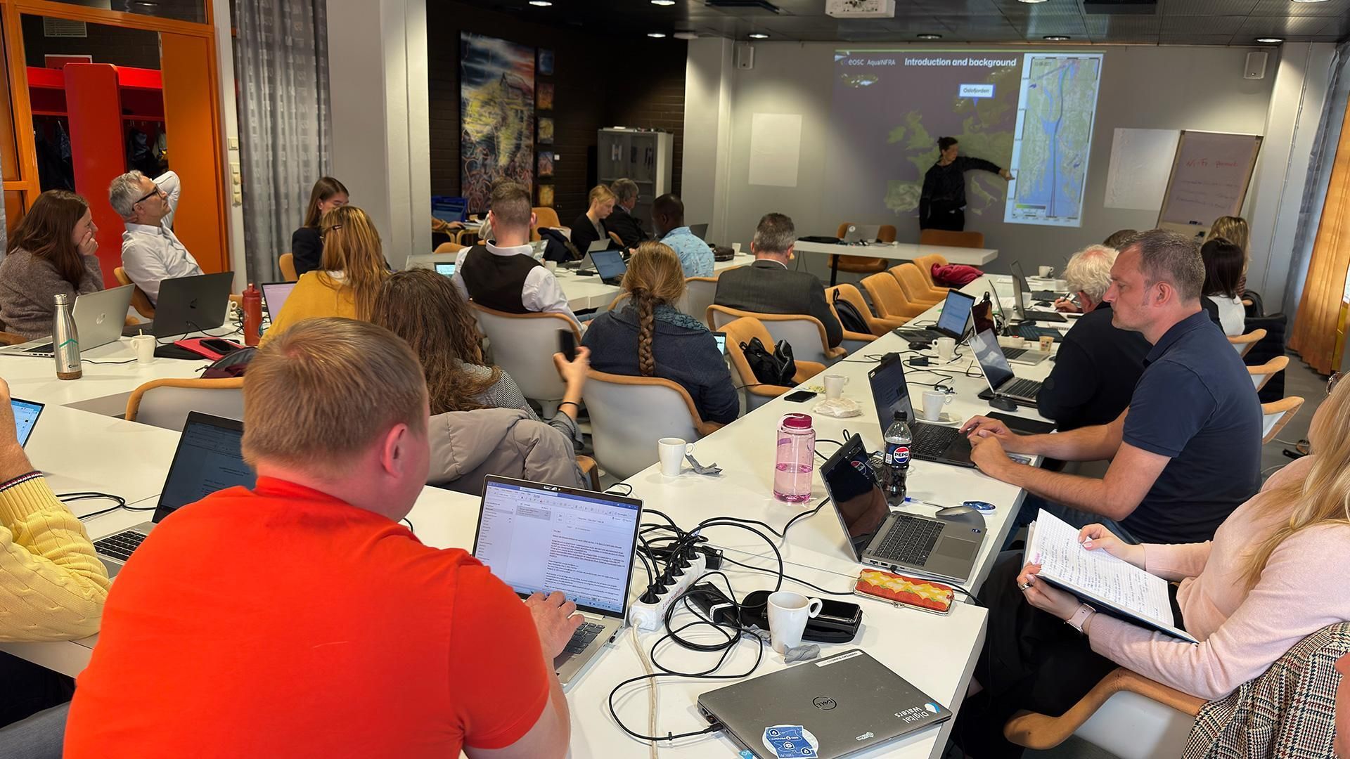
A key milestone in AquaINFRA’s outreach was a hands-on training workshop held at the University of Oulu in mid-May 2025. This in-person session was specifically designed for PhD students and early-career researchers, giving them a chance to explore AquaINFRA’s platforms in depth . During the workshop, participants were introduced to AquaINFRA’s core tools, including the Data Discovery and Access System (DDAS) and the Virtual Research Environment (VRE). Trainers walked attendees through example workflows designed to demonstrate the platform’s capabilities for data access and analysis. The event also introduced reusable training materials aimed at supporting FAIR workflows and promoting capacity building among early-career researchers.

Most importantly, the Oulu workshop was hands-on. After the presentations, everyone opened their laptops for a guided exercise: importing data and running an analysis workflow on the AquaINFRA VRE.
“The use cases were compelling, and the platform proved intuitive and easy to use. Common pre-processing or analysis steps being accessible in ready-made and shareable blocks gets you faster to work on the details specific to your project. The dataset portal with spatial coverage searches and metadata documentation seemed especially useful. Finding suitable data for your research questions has never been easier!”
Pietari Pöykkö, PhD student in the University of Oulu

Informational post for the AquaINFRA Hands-On Workshop in Oulu, Finland, which invited PhD students and researchers to explore the project’s digital tools. The Oulu workshop marked the first time AquaINFRA opened its tools to researchers outside the project team, aiming to spur collaboration and gather input.
Beyond the technical learning, the Oulu workshop helped grow AquaINFRA’s community. Dozens of young researchers from Finnish and international institutions networked with the project team and each other. The event helped foster peer exchange and raised interest in applying AquaINFRA tools more widely and exemplified AquaINFRA’s commitment to capacity building: by empowering the next generation of scientists with open tools and skills, the project ensures that the benefits of its infrastructure will be sustained and multiplied in future aquatic research.
Next Steps
Looking ahead, AquaINFRA has an exciting roadmap of deliverables and events. In the coming months, the project will be refining its Data Discovery and Access Service and rolling out updates to the Virtual Research Environment.
AquaINFRA’s journey is ongoing, and the consortium is excited to broaden its network. By combining efforts across scientific disciplines and institutional boundaries, we can build a lasting digital infrastructure for aquatic environments – one that accelerates discovery, informs policy, and engages the public. As the project moves into its next phases, consider joining our events or even collaborating on use cases. Together, we can ensure that open data and digital innovation continue to drive sustainable water management and the restoration of our precious aquatic ecosystems.
Join us as we move into the next phase — whether through future workshops, collaborative research, or simply by exploring the AquaINFRA platform.